Why we’re building Leeana
We believe everyone should be able to ask and answer spatial questions with maps. We’re building the tools to make that a reality.

Rooted in sustainability, built for scale
We started by helping sustainability teams, running site-level checks - protected areas, species sensitivity, water risk, and early CSRD/TNFD reporting.
The blocker wasn’t intent; it was tooling. Powerful GIS sat behind manual steps and one-off workflows. Leeana pairs maps with AI to standardize the hard parts so answers are fast, auditable, and easy to share.
Usable
Ask in plain language or draw. Share as a link.
Traceable
Transparent sources and methods - no black boxes.
Responsible
Built for important environmental decisions.
As seen in


Meet the team
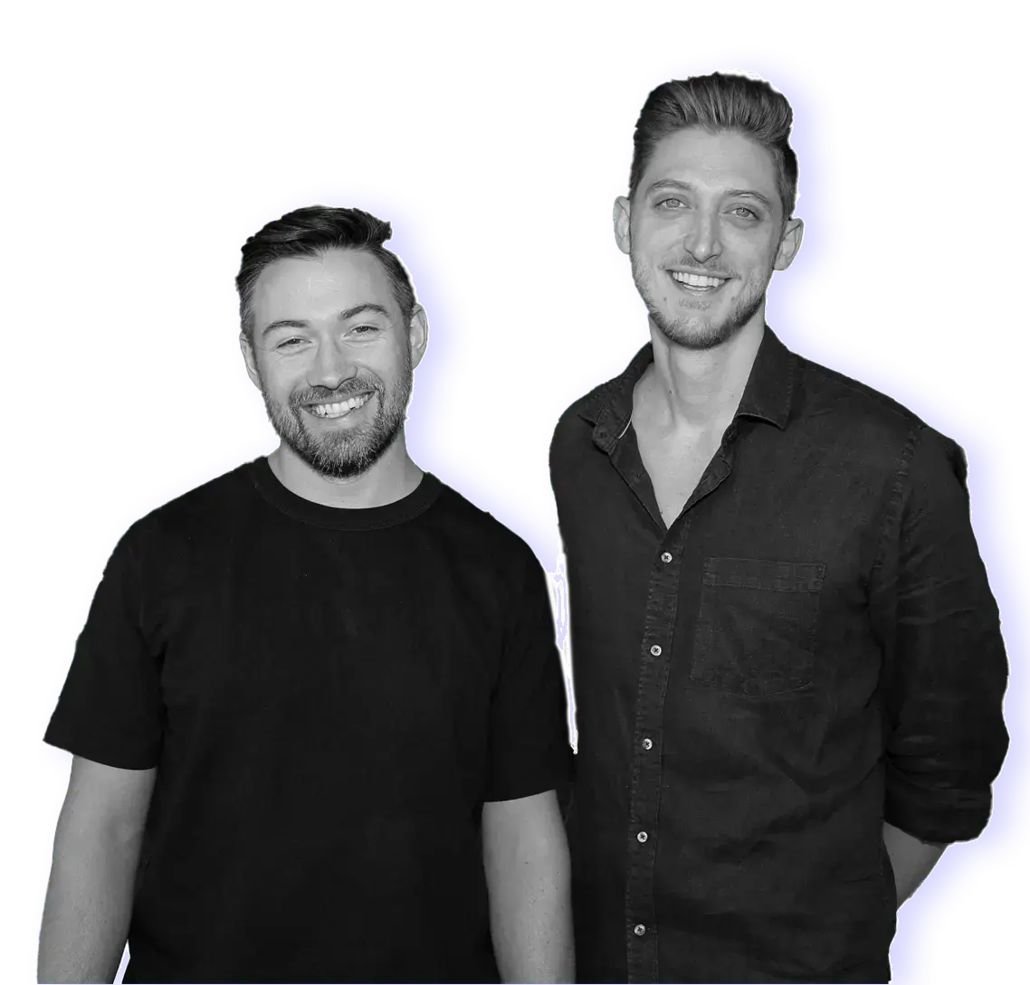
Friends since 2012, Denis and Lewis have built software side by side for 7+ years and are focused on making spatial intelligence usable at scale

Lewis Pierson
Co-founder & CEO
Built and scaled technology at N26 and PayPal, co-founded an ESG data startup. Lifelong map enthusiast with years of geospatial engineering experience.
LinkedInopens in a new tab
Denis Frischmann
Co-founder & COO
Ex-OMMAX enterprise product lead. Meticulous, straight-talking, and detail-obsessed, Denis turns complex needs into clear workflows and stays with customers until it delivers.
LinkedInopens in a new tabOur pitch at Norrsken Impact/Week 2024
See our founder Denis present Leeana's vision and impact at one of Europe's leading impact events